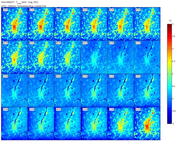
Heat map of Ghent: creation of a heat map and analysis of the urban heat island effect for Ghent
The city of Ghent wanted to know where the UHI-effect occurred and to what extend. Moreover they wanted to know which impact that could have on the health of the inhabitants and that could be done to alleviate the effect, Based on literal research and actual measurements in the area, we developed a heat map for the city of Ghent in various stages of the summer of 2012. Furthermore we executed a Saaty-analysis in order the weight the impact for various situations and demographic groups. For three most affected neighbourhoods, we have proposed several socio-spatial measures to lighten the UHI-effect.
- By order of: Ghent city, department of environment
- Period: 12/07/2012 - 30/06/2013
- Manager of the assignment: Vito
- AMRP is subcontractor
- This is the final report
- AMRP assistants: Prof. dr. ir. Luuk Boelens, Karel Van den Berghe
