Lasers revealing 3D structure of trees
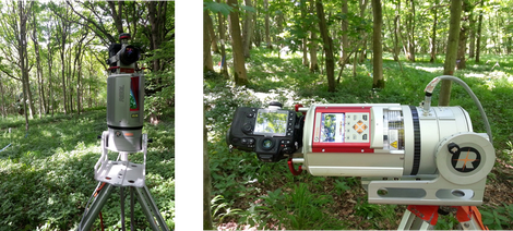
Terrestrial LIDAR, also called terrestrial laser scanning (TLS), is a ground-based remote sensing system that can measure 3D vegetation structure (i.e. the size and location of canopy elements) to centimetre or even millimetre accuracy and precision.
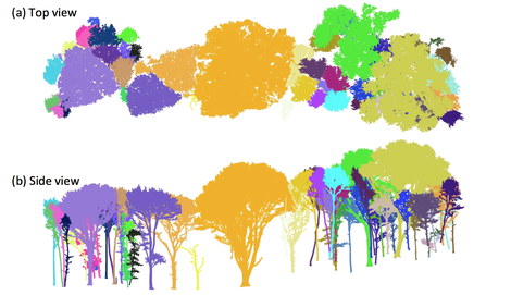
This provides us unprecedented information about tree architecture and volume. 3D models of trees help us to better estimate the aboveground biomass in trees and reduce the uncertainties in carbon accounting.
How it works
The laser scanner emits laser pulses and uses time-of-flight to measure distances when the laser pulse is hitting a target and laser energy is reflected back to the instrument.
Making millions of measurements in a few minutes, the laser scanner is able to create a detailed, three-dimensional image of trees in the field.


